UNESCO Global Geopark · Northeast BC
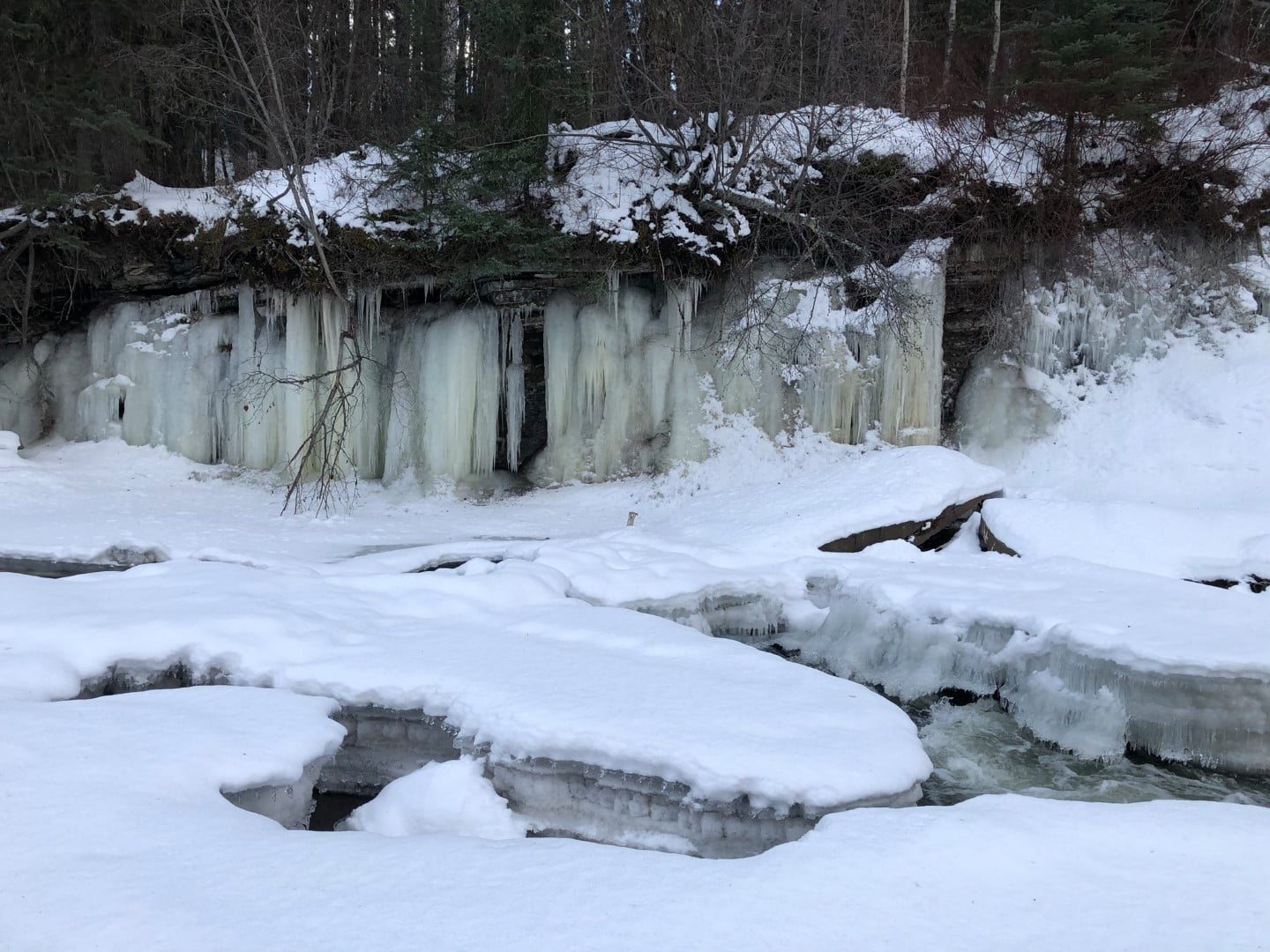
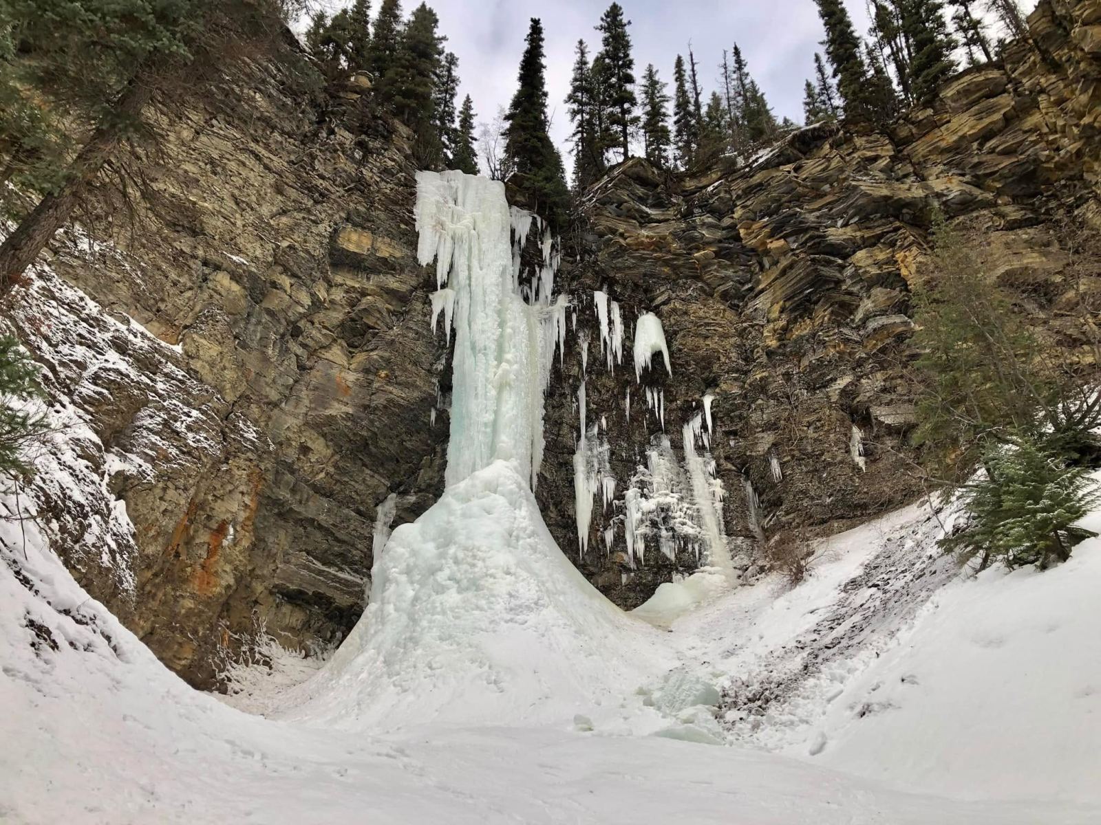
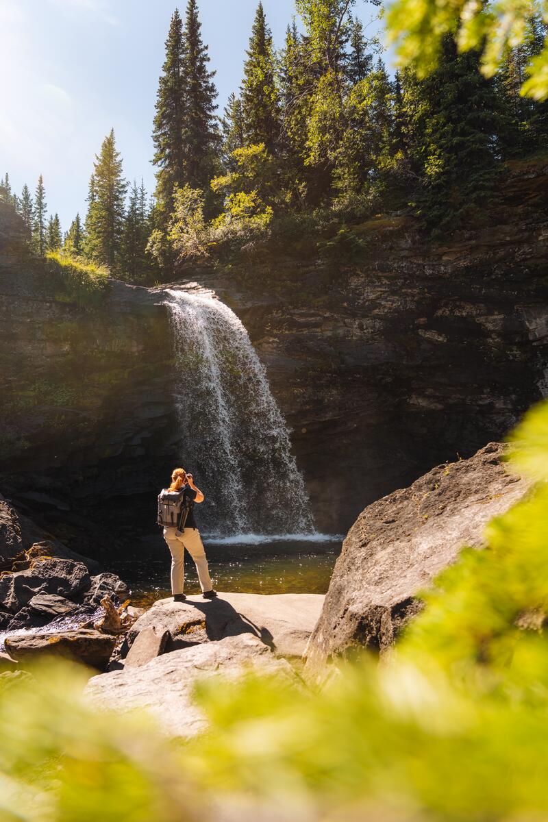
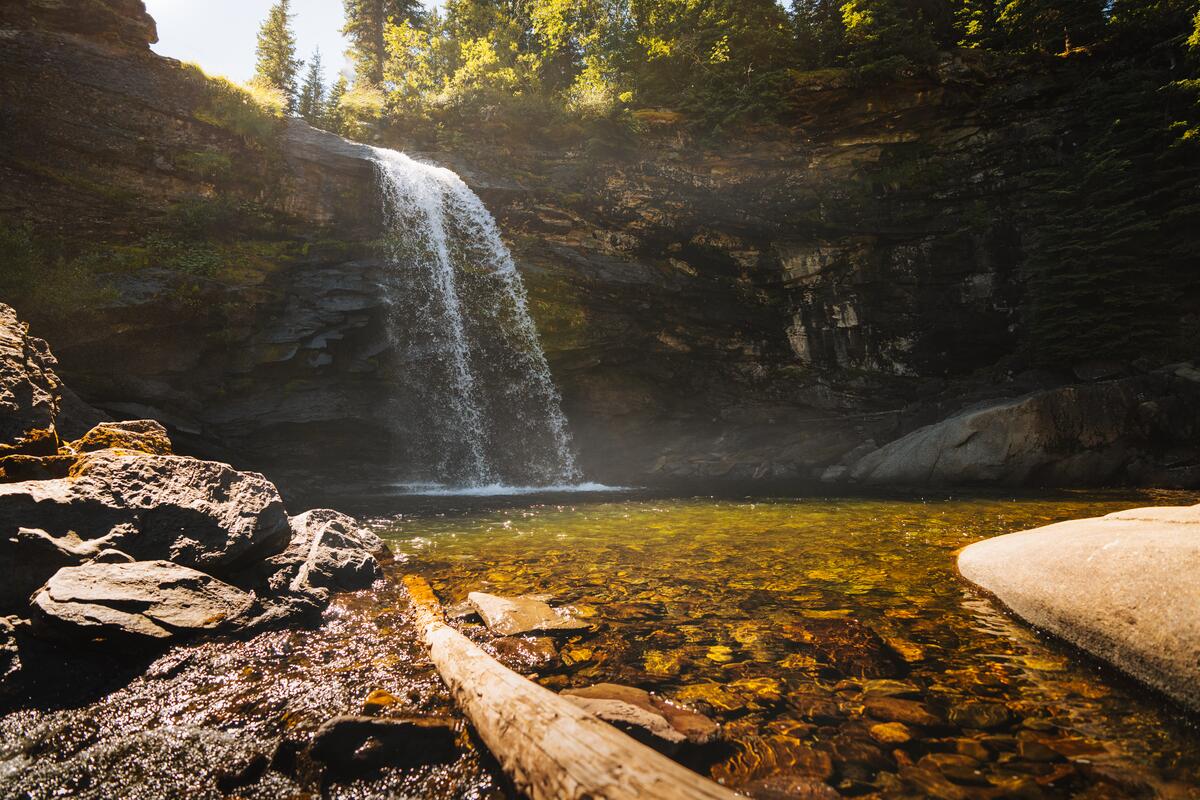
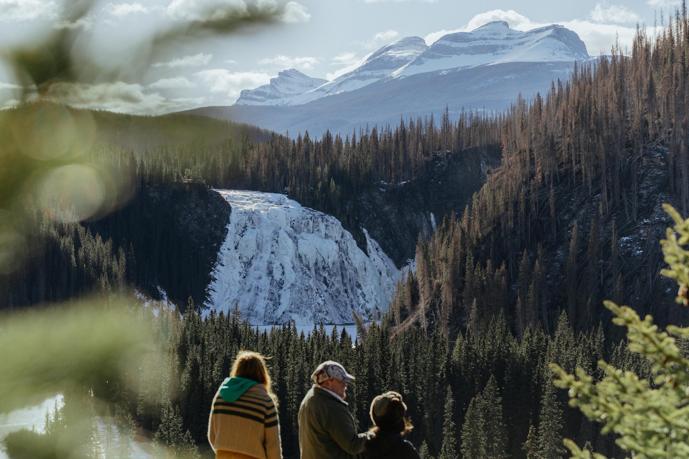
Waterfalls that roar in July and freeze into blue cathedrals in January. Dinosaur footprints pressed into creek beds. Alpine lakes the colour of glacier milk. Welcome to the wild heart of the Peace.
Road distances from Visit Tumbler Ridge. Highway 52 from Dawson Creek, Highway 29 from Chetwynd.
Why go
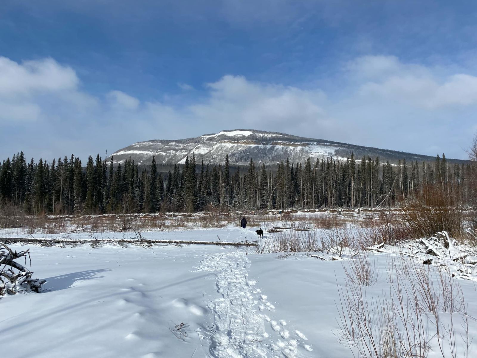
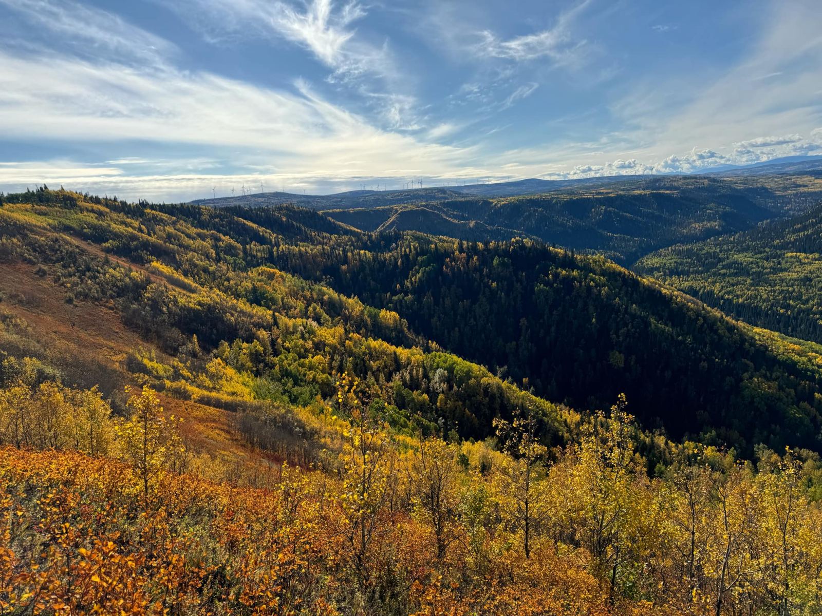
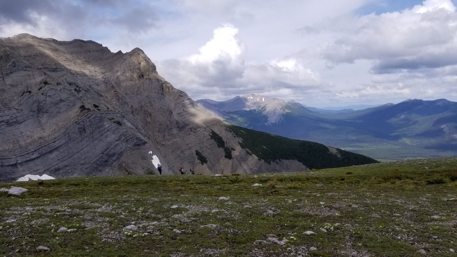
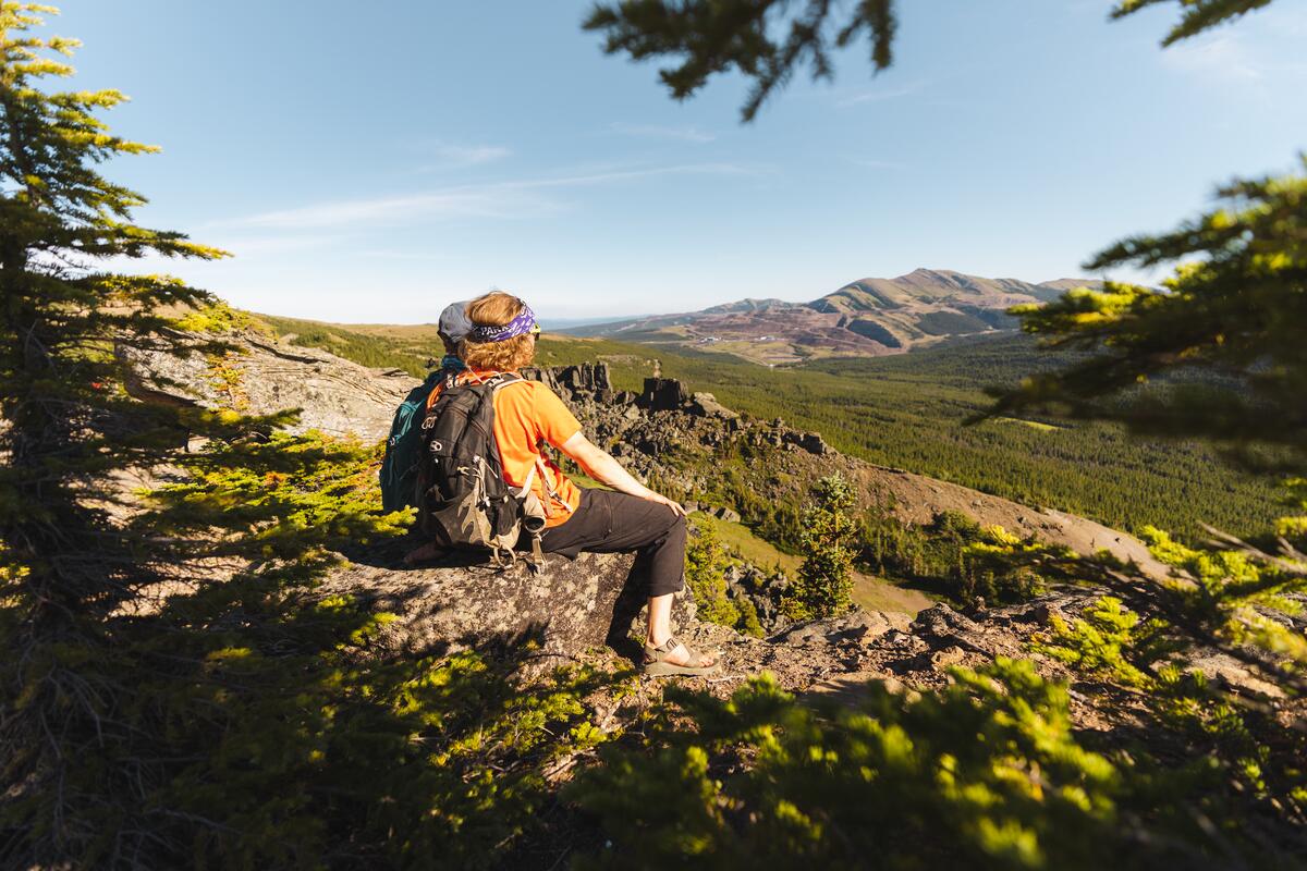
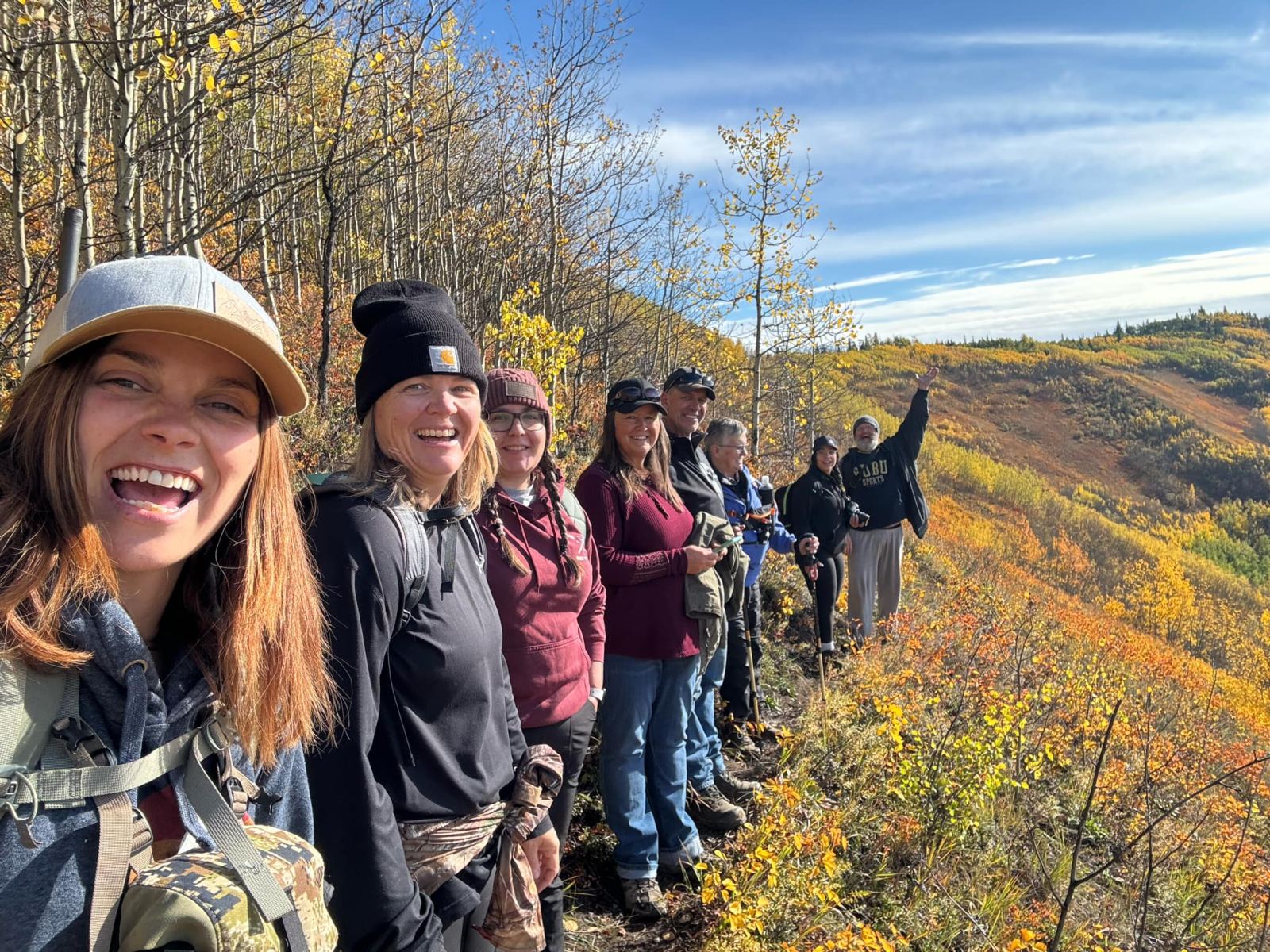
Tumbler Ridge sits in the foothills of the Rockies where the Murray River meets Flatbed Creek, a small town wrapped in a very big wilderness. Thirty-nine trails, cared for by the Wolverine Nordic & Mountain Society, leave from its doorstep, leading to canyons, caves, alpine meadows, mountaintops and waterfalls.
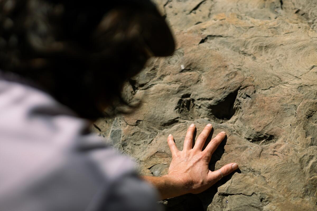
In 2000, two boys floating Flatbed Creek spotted four-toed footprints in the bedrock. Those tracks put Tumbler Ridge on the world’s map, and today the whole region is a UNESCO Global Geopark. We have guided here for years, and every trip still surprises us.
Why explore with Peak Wyld Co.
We know these trails in every season, from spring melt to deep winter.
Room to breathe, to ask questions and to move at a pace that suits you.
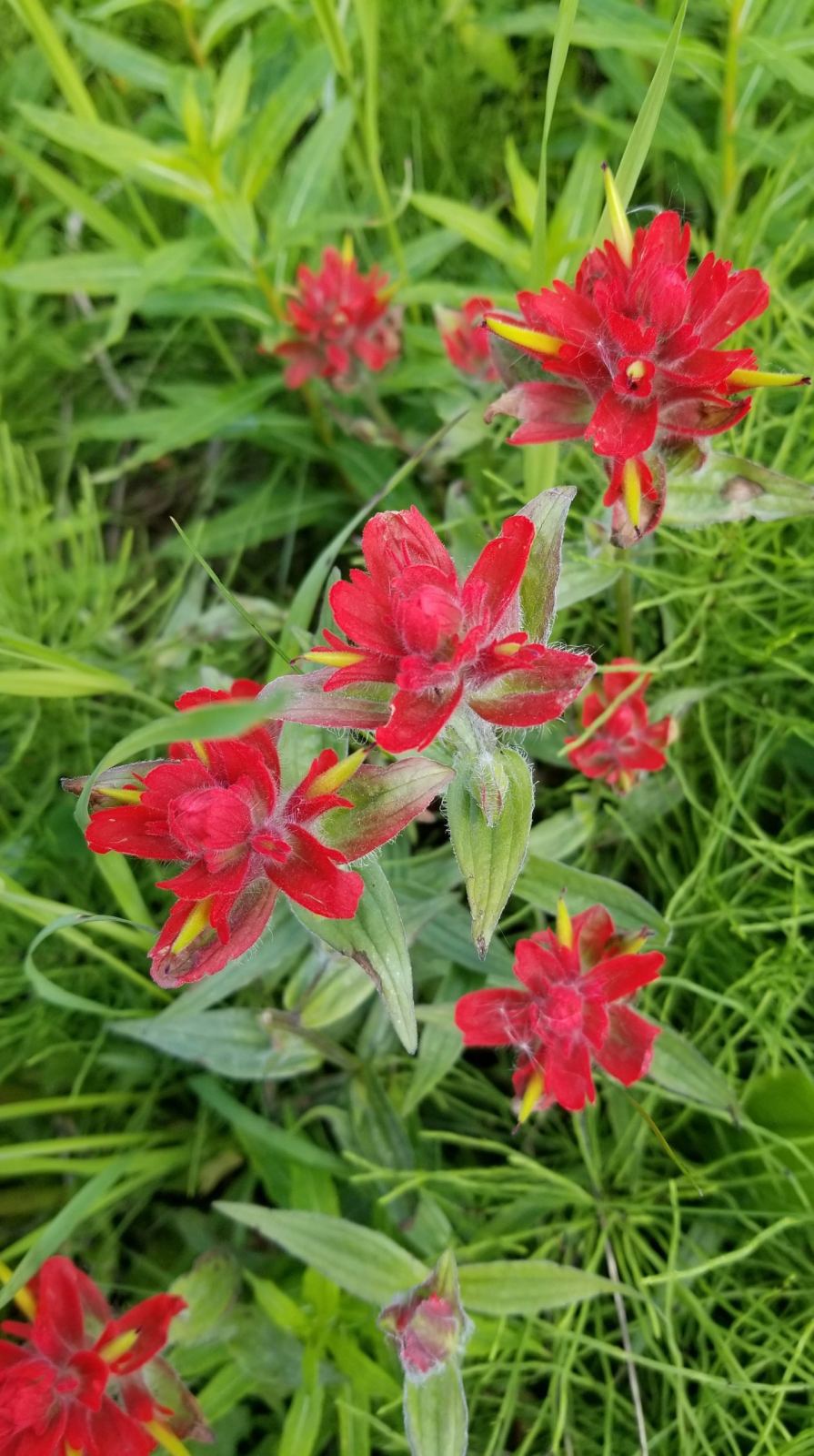
Bear-spray basics, plant ID and the stories in the rocks are part of every trip.
$5 from every Tumbler Ridge booking goes to the Wolverine Nordic & Mountain Society.
Tumbler Ridge UNESCO Global Geopark
The Geopark stretches across 8,478 km² of mountains, canyons, caves and karst, with 34 accessible geosites and new fossil finds almost every year. It is one of only five UNESCO Global Geoparks in Canada and the only one in western North America.
Unlike a national park, the Geopark is a living, working place: wind farms, forestry and coal mining share the land with hikers, paddlers and skiers. That makes how we travel here matter even more.
Dinosaurs & deep time
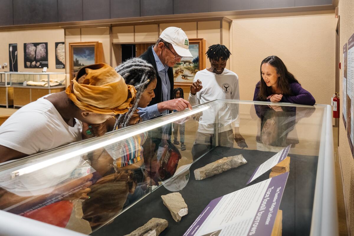
Run by the Tumbler Ridge Museum Foundation at 255 Murray Drive. Fossils spanning more than 500 million years: dinosaur footprints, Triassic marine reptiles, ancient plants and Ice Age mammals. Winter hours (September 8, 2026 to June 30, 2027): Thursday to Monday, 9 AM to 5 PM. Summer hours (July 1 to September 7, 2026): daily, 9 AM to 5 PM. Check current admission at trmf.ca.
The Geopark's hands-on science centre near the Visitor Centre, opened in 2026. Its "Down to Earth" exhibit tells the story of these mountains in the Earth's own voice, and a VR headset takes you to remote geosites. Hours vary with the season and fieldwork — call the Visitor Centre at (250) 242-3123 before you go.
The Museum Foundation leads guided Dinosaur Trackway Tours and dig tours so you can see footprints in the wild. Found something that looks like a track? Photograph it, note the spot and leave it in place.
Hiking trails
Distances and difficulty are as listed by the Wolverine Nordic & Mountain Society, the volunteers who build and care for these trails. Tap any card for the full trail page.

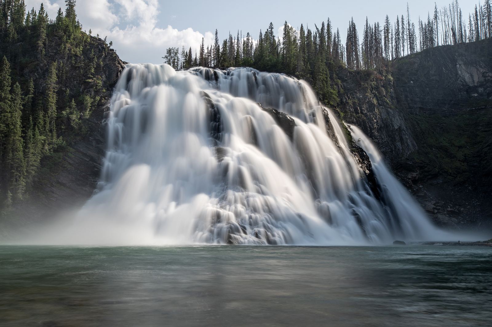
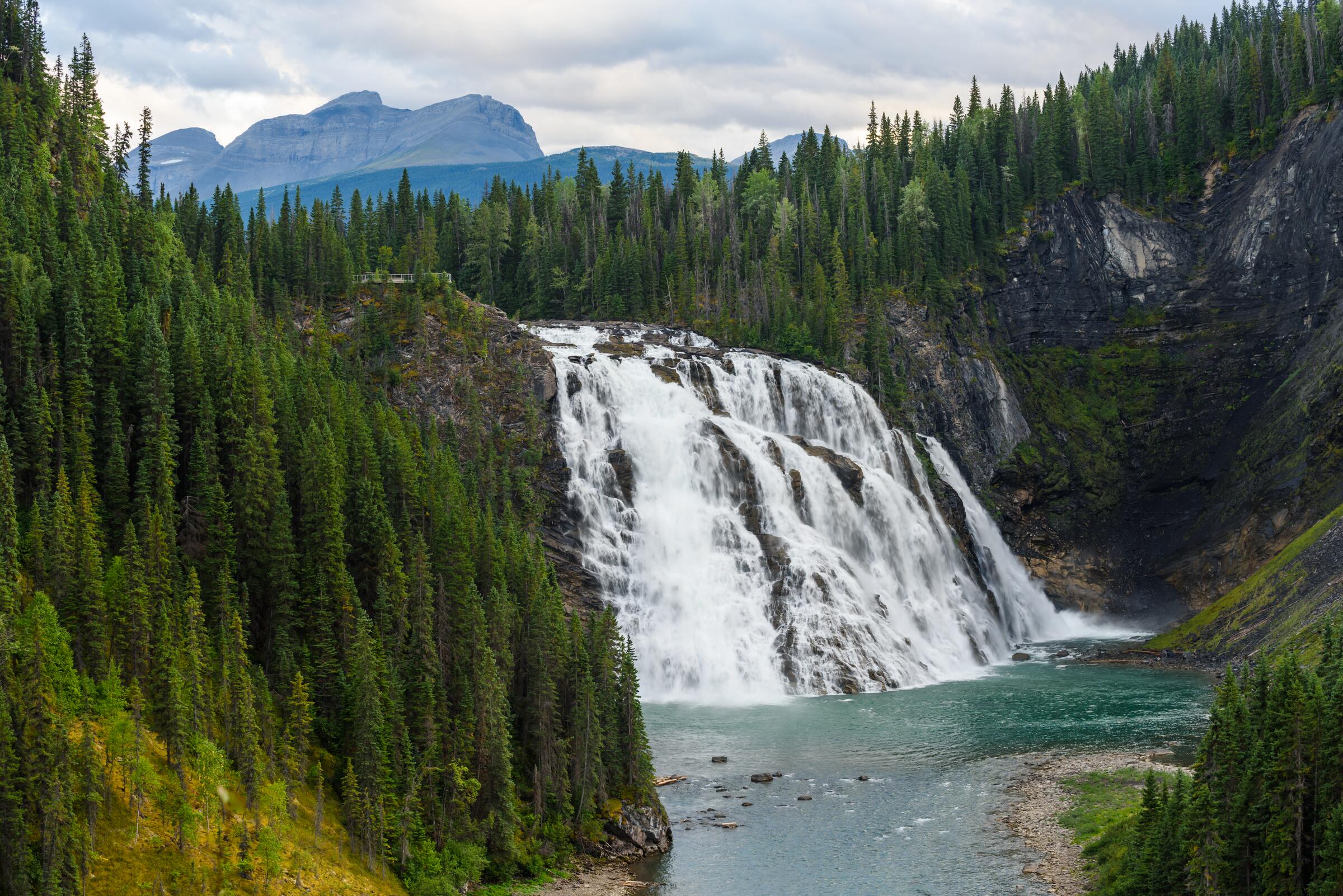
Over 100 m of water pouring into a horseshoe bowl. 11.5 km · Challenging · Full day
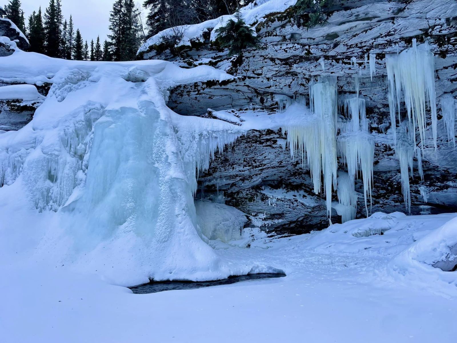
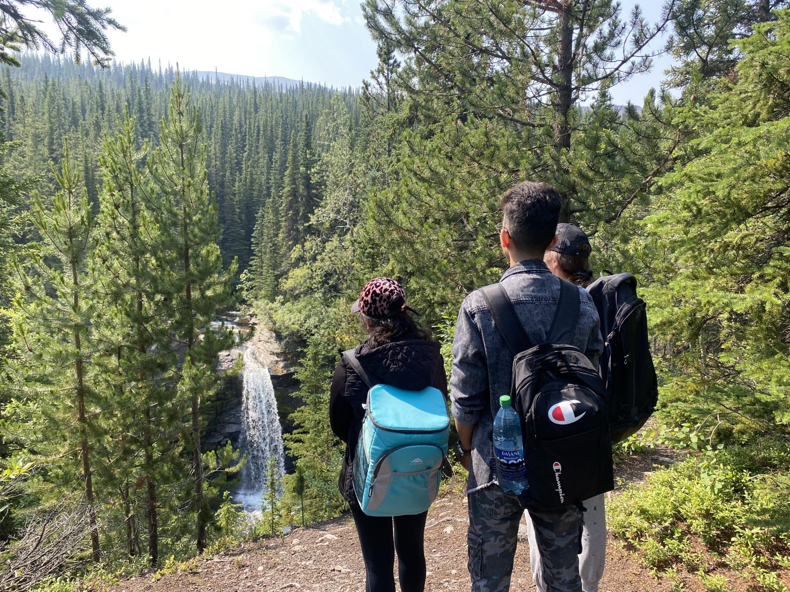
An 8 m four-season falls past wetland boardwalks. 4 km · Moderate · Half day
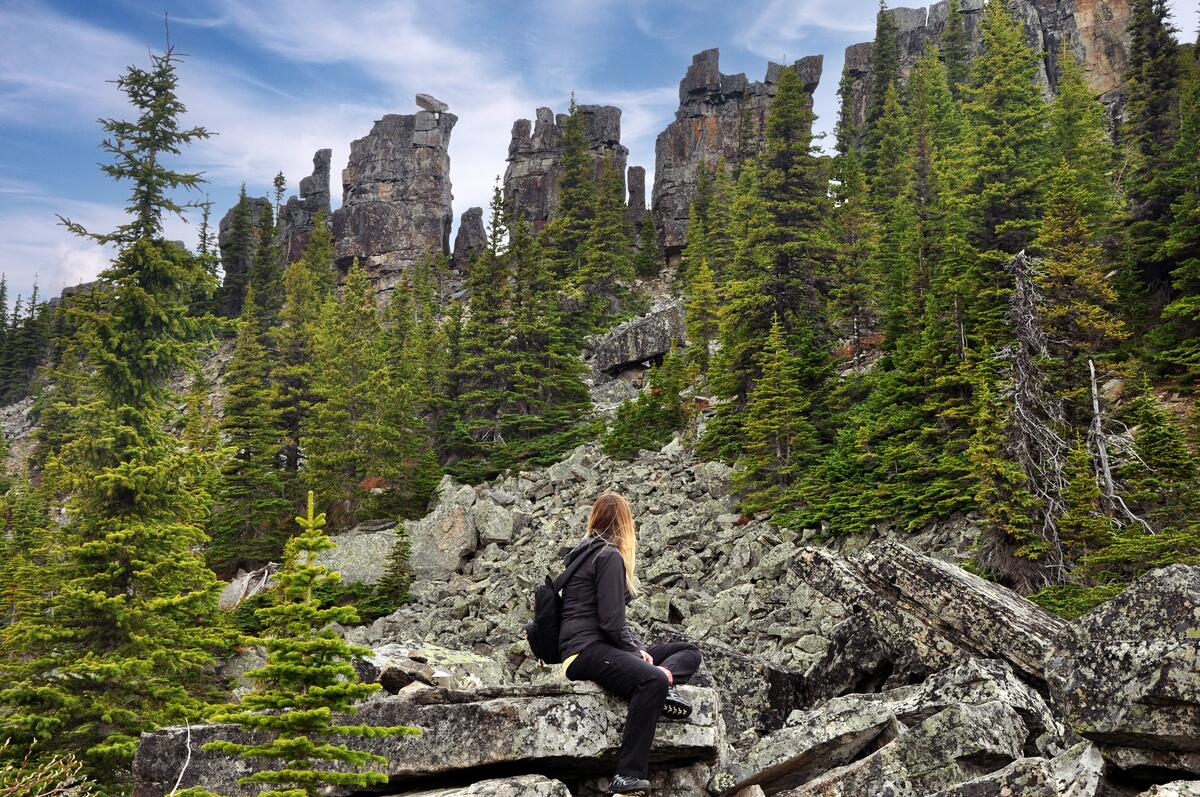
A surreal maze of rock pillars and slabs. 4 km · Moderate · Half day
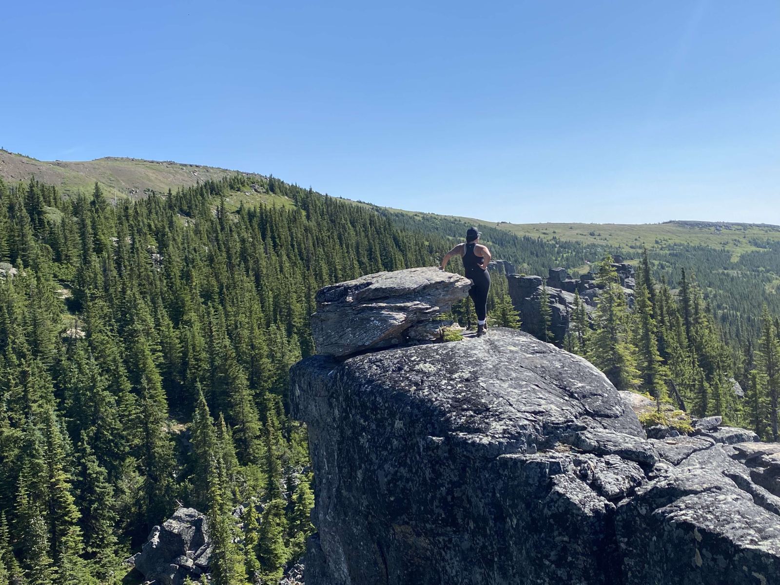
Gravity-defying towers and a ship of stone. 3 km · Moderate · Half day
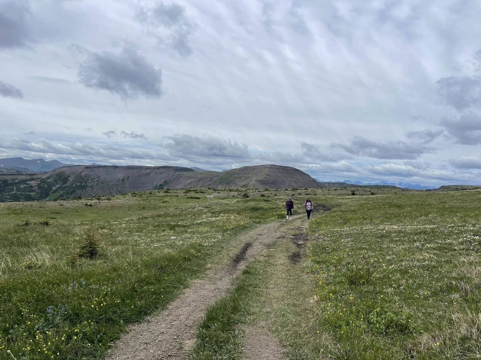
A gentle alpine ridge to a 1,971 m summit. 6 km · Moderate · Half day

A short, family-friendly walk to a pretty falls. 2.5 km · Easy
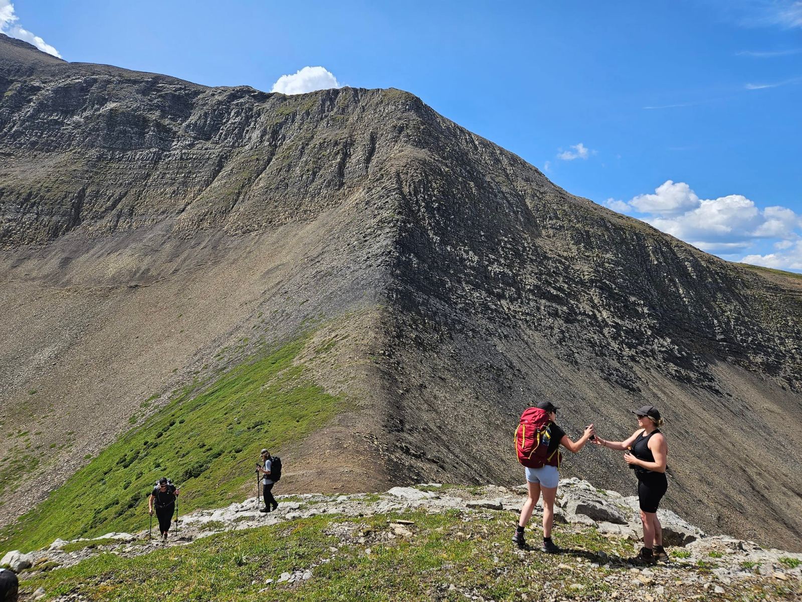
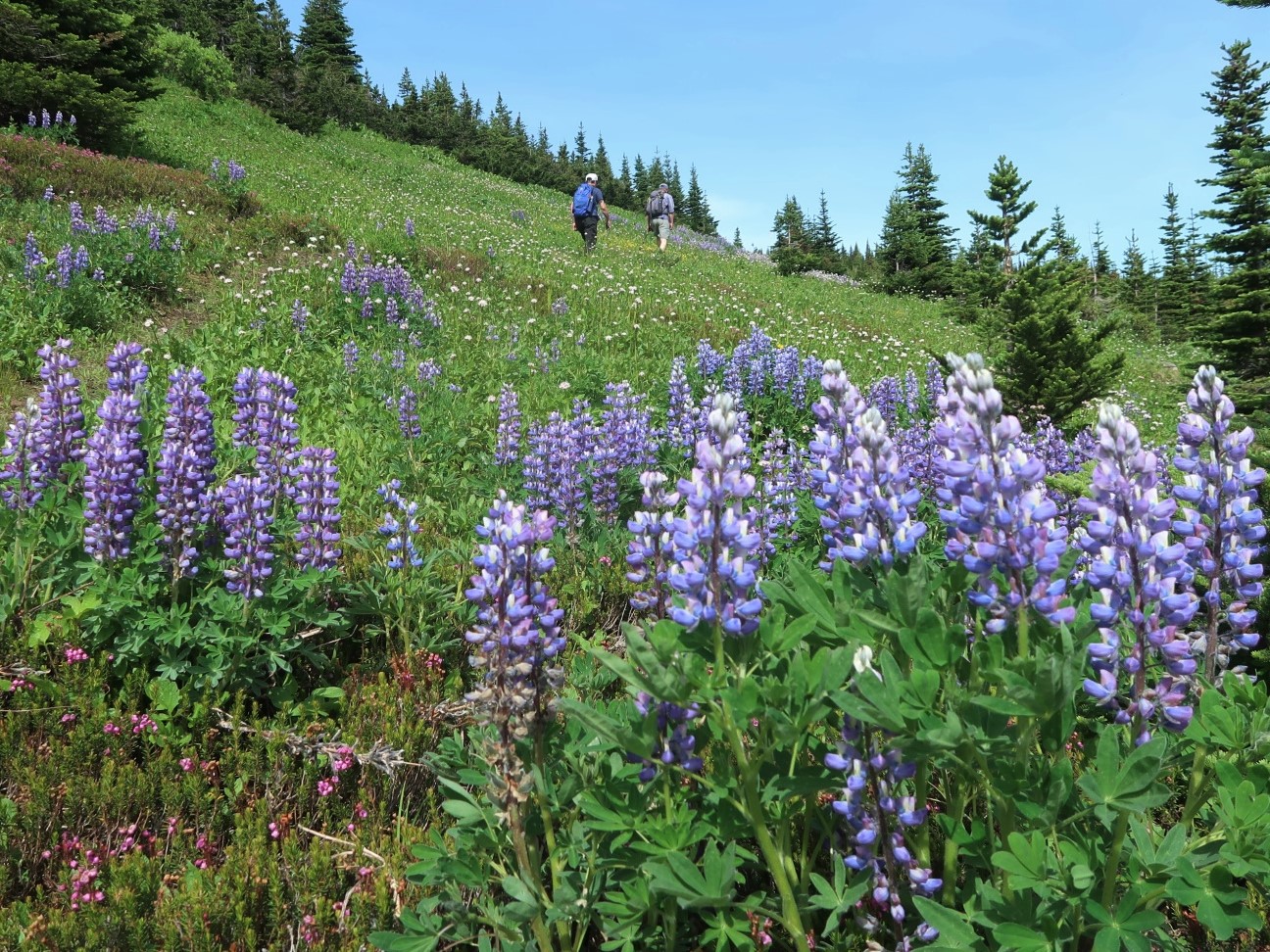
Forest to subalpine meadow to a cliff-ringed lake. 10 km · Challenging · Full day
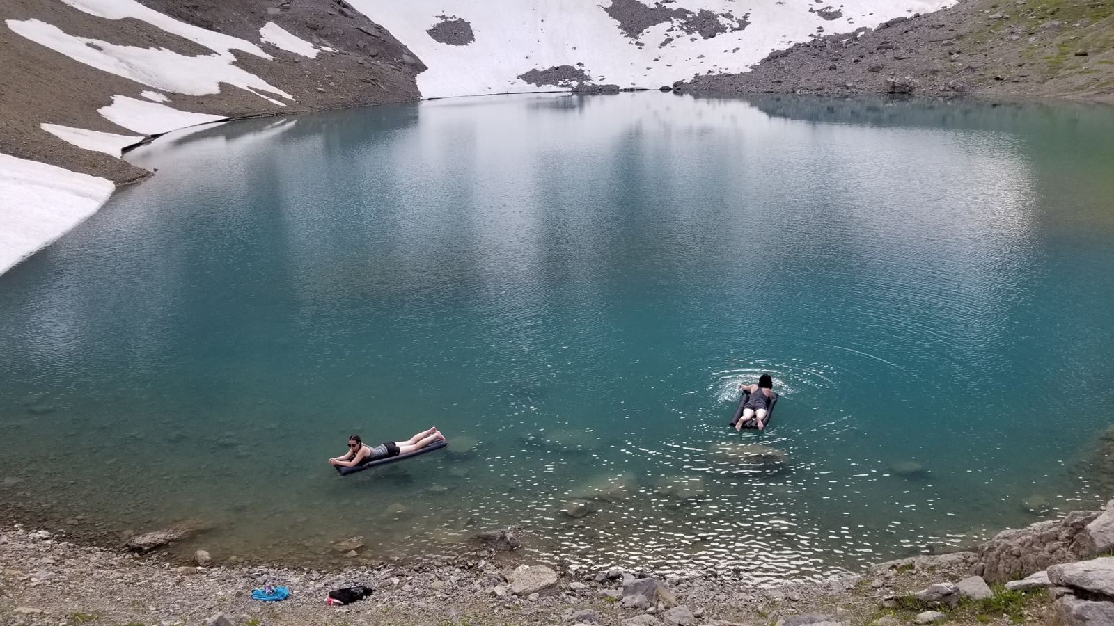
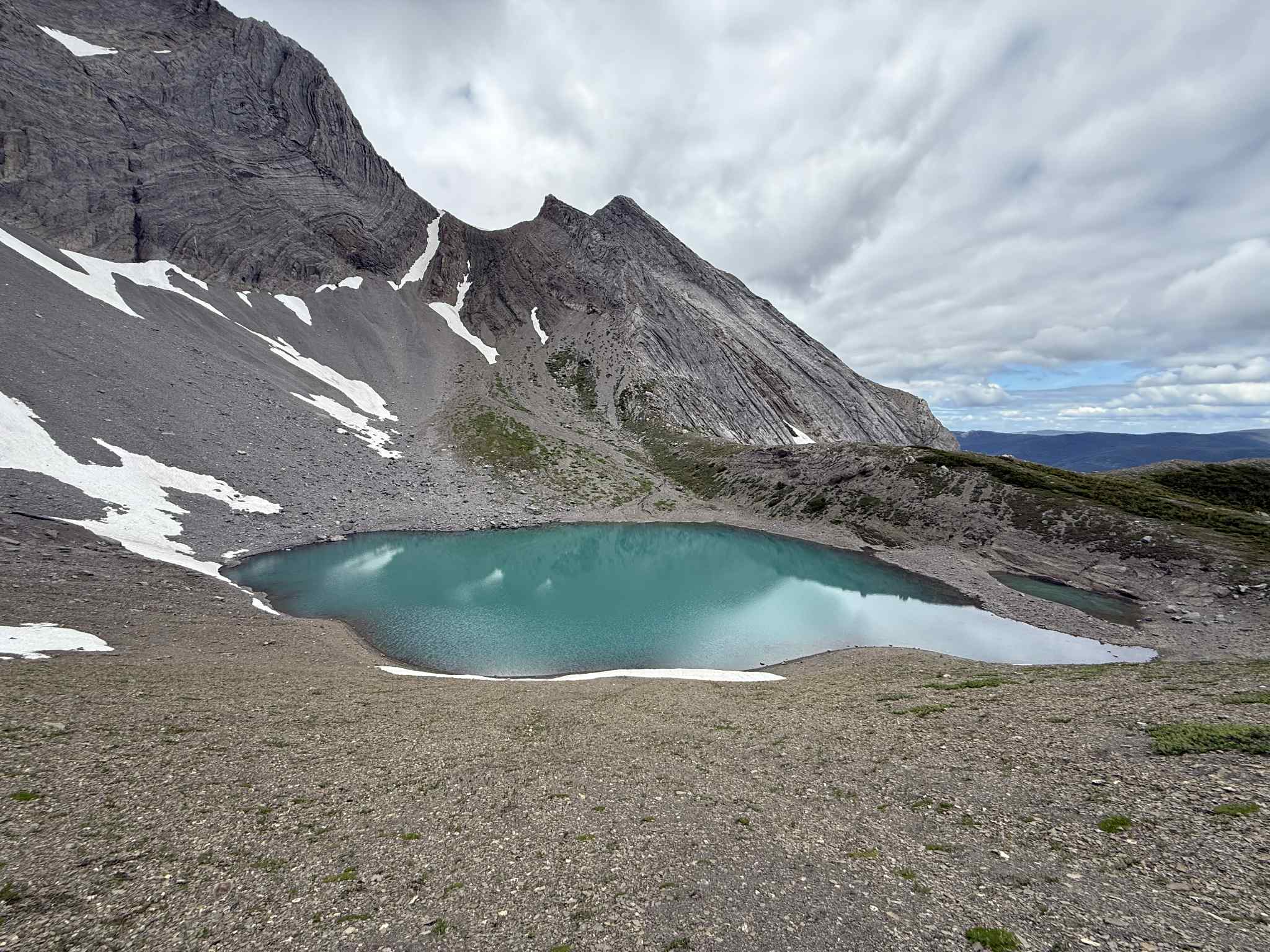
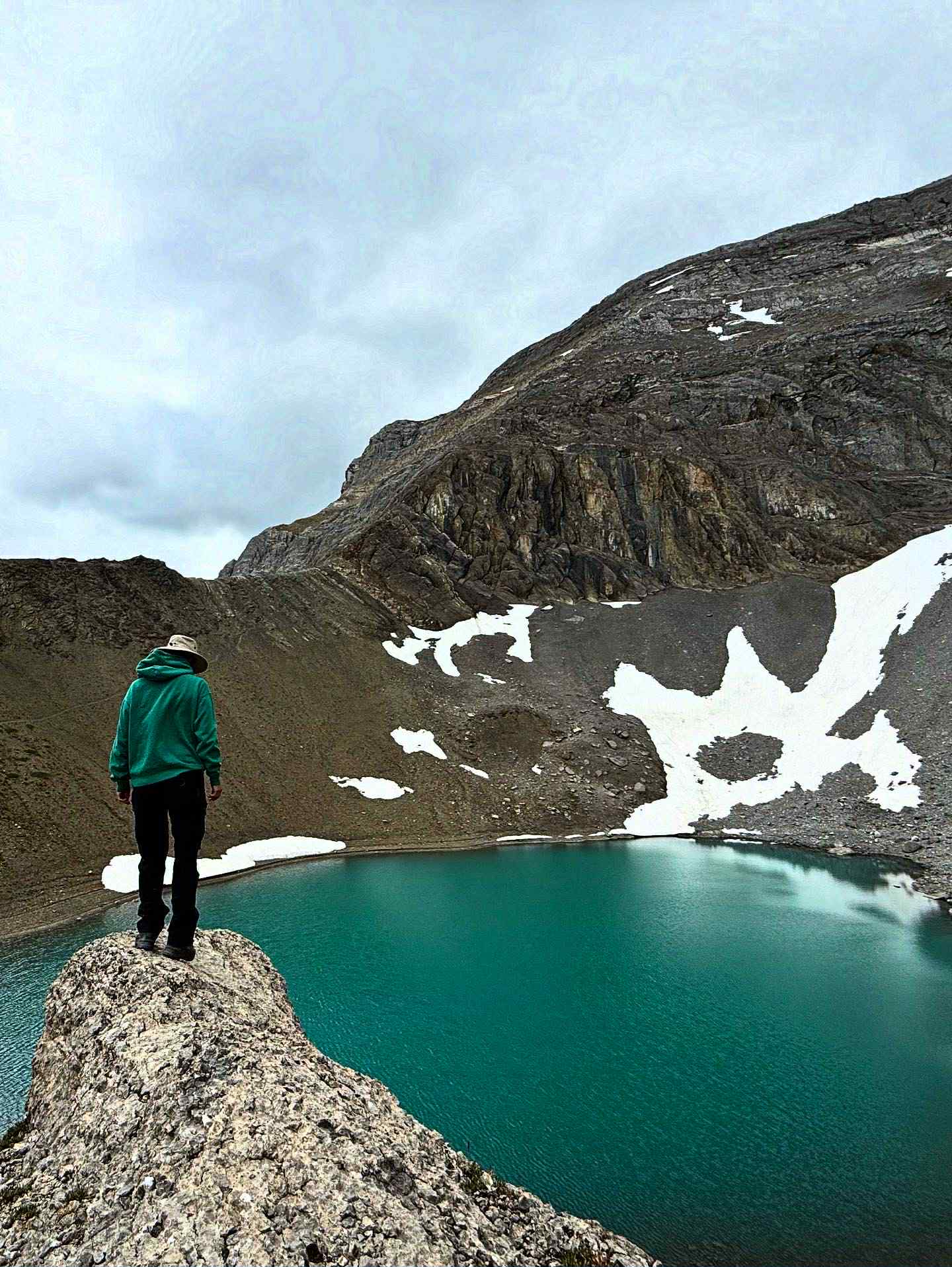
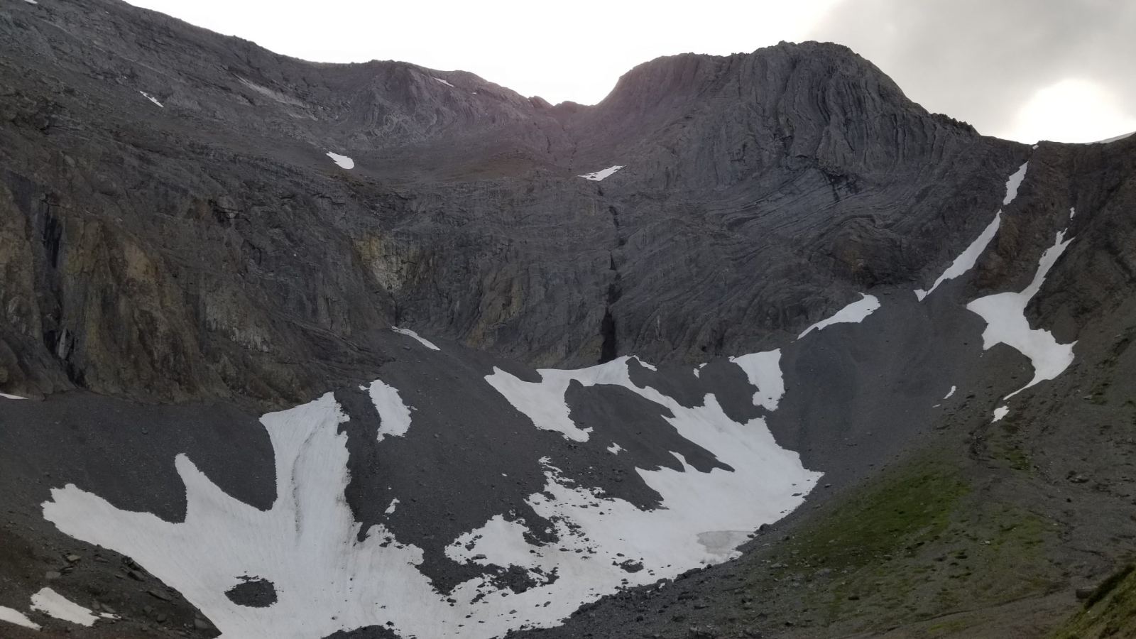
An alpine tarn under Mount Wapitik, with a new campground. 11 km · Challenging · Full day
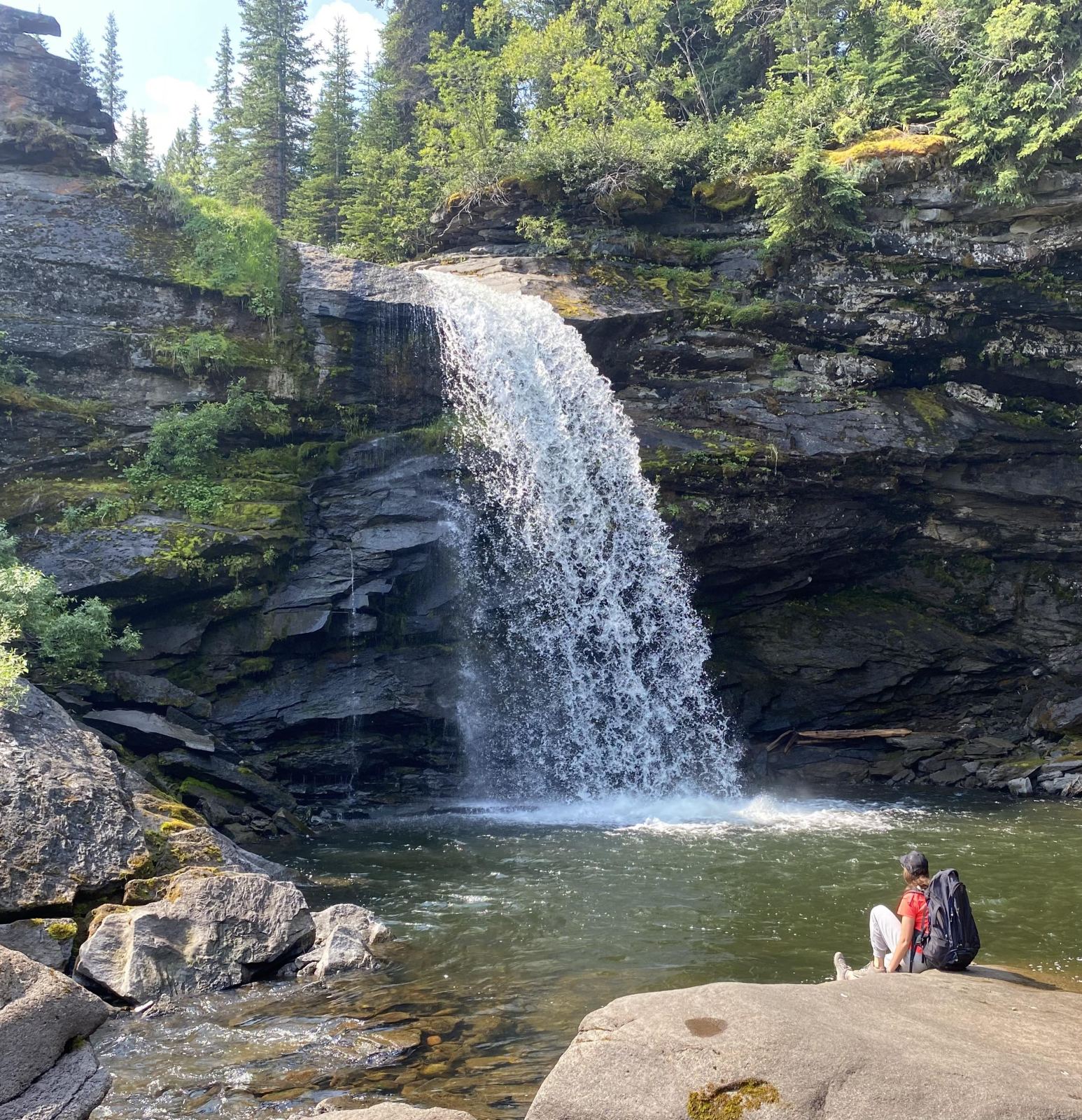
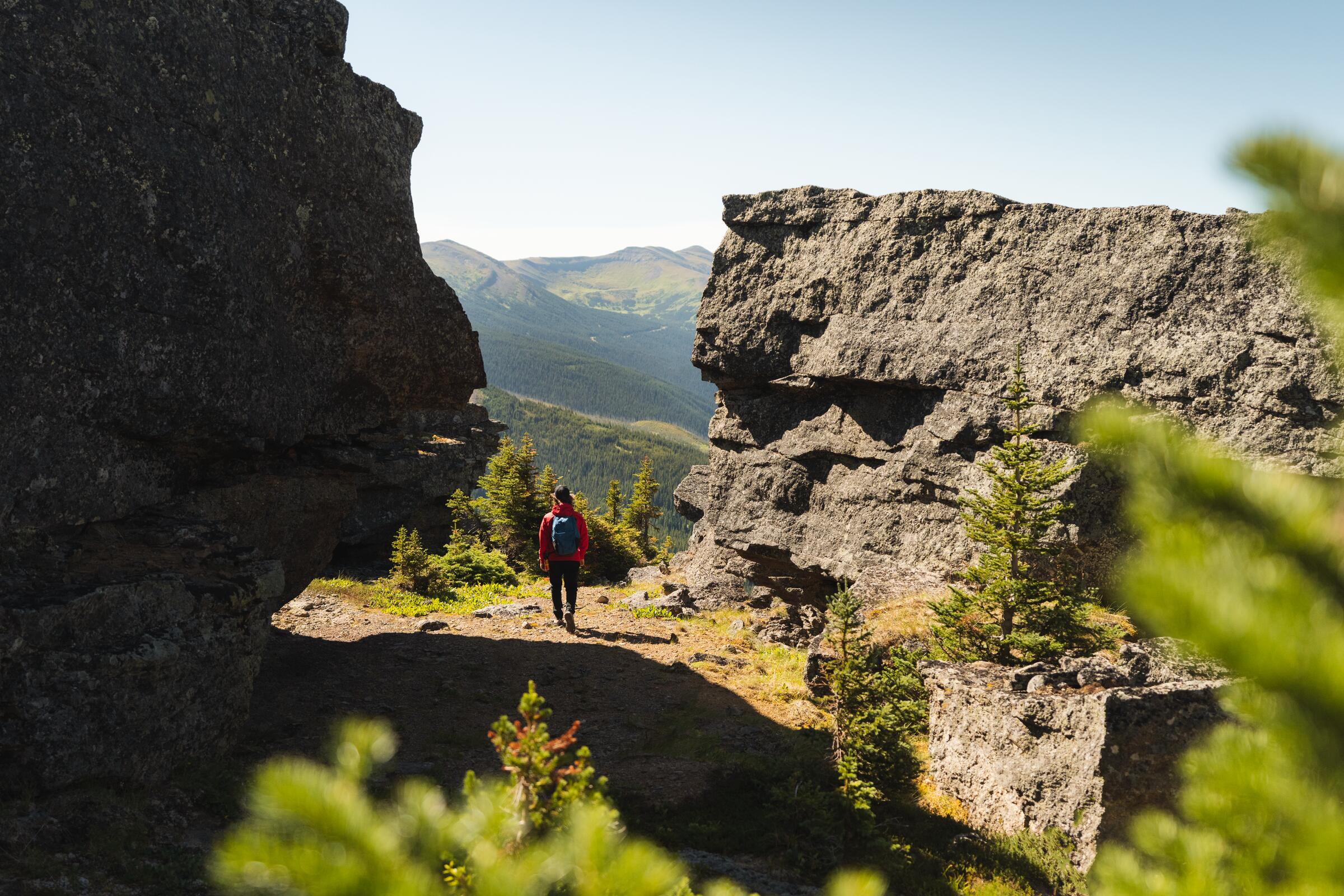
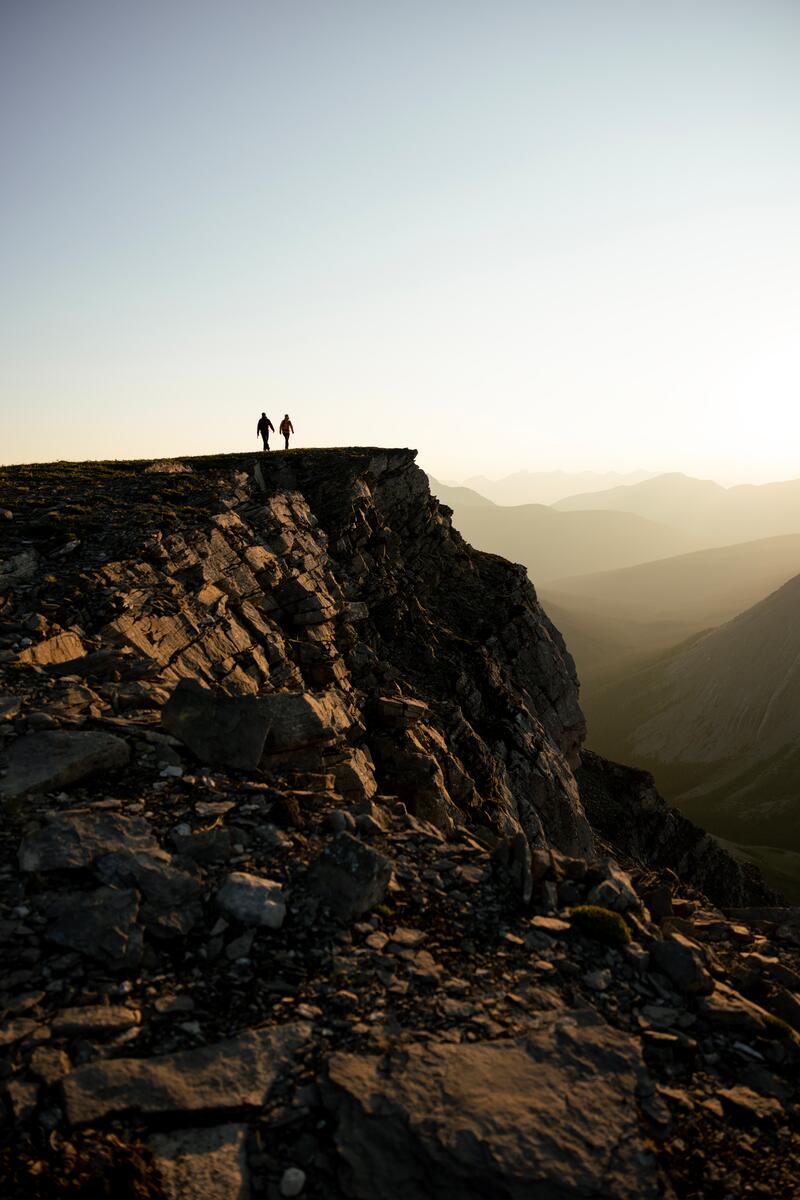
Every trail, one list
Each link opens the official trail page from the Wolverine Nordic & Mountain Society, with directions, cautions and current notes. Grab the official visitor guide and recreation map before you go, and check in at the Visitor Centre for current conditions.
Visitor & Relocation Guide 2026–2027 from the District of Tumbler Ridge. The standalone recreation map is the 2022–23 edition — ask at the Visitor Centre for the latest print map.
Lakes to explore
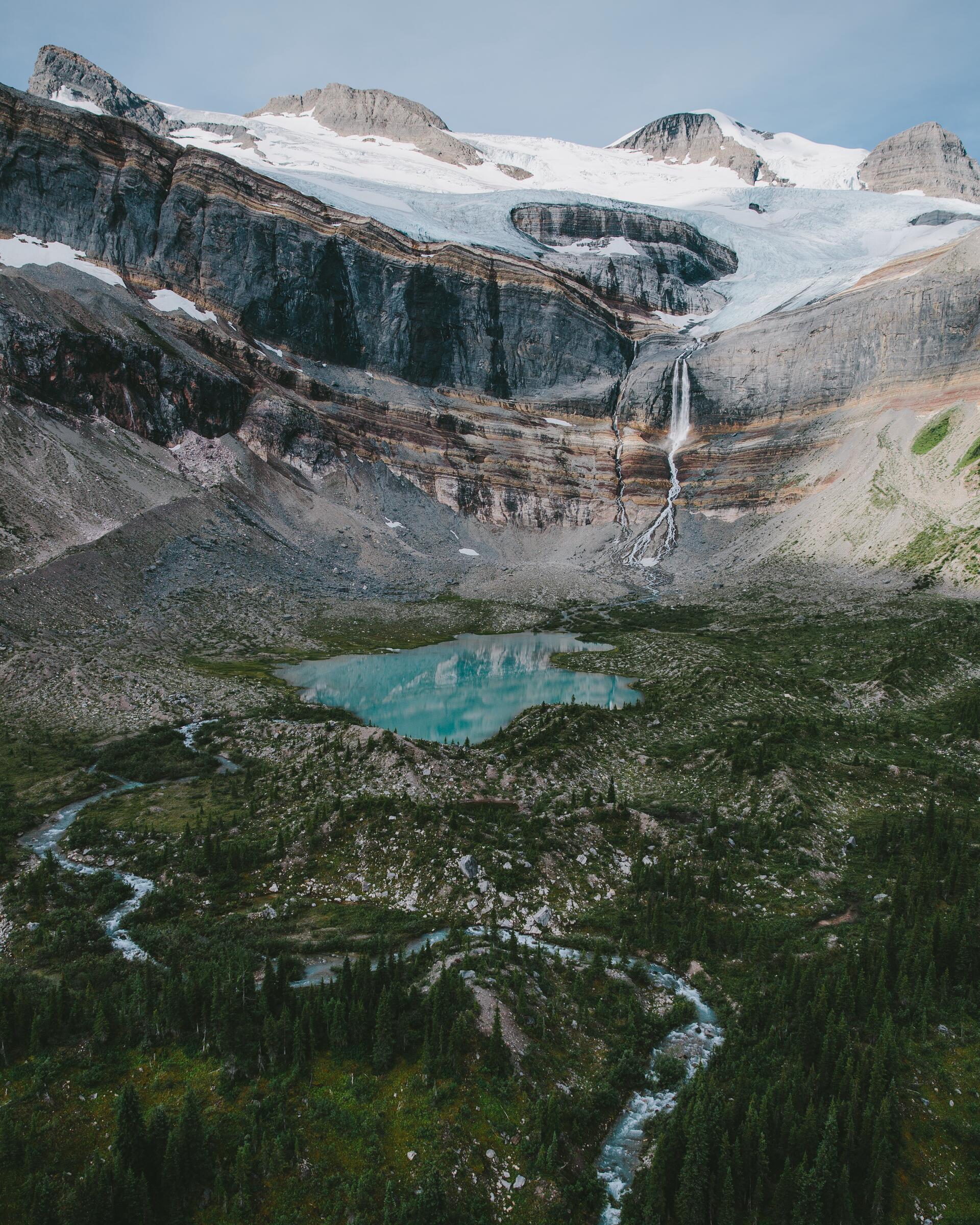
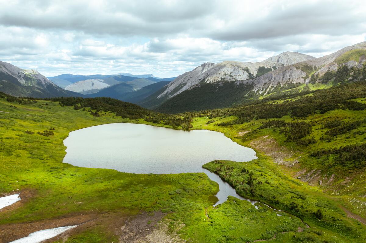
A turquoise alpine tarn on the north side of Mount Wapitik. WNMS built a campground here in 2024.
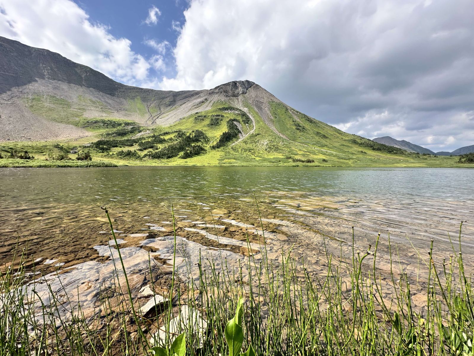
A five-kilometre climb through forest and subalpine meadow to a lake beneath treeline cliffs.
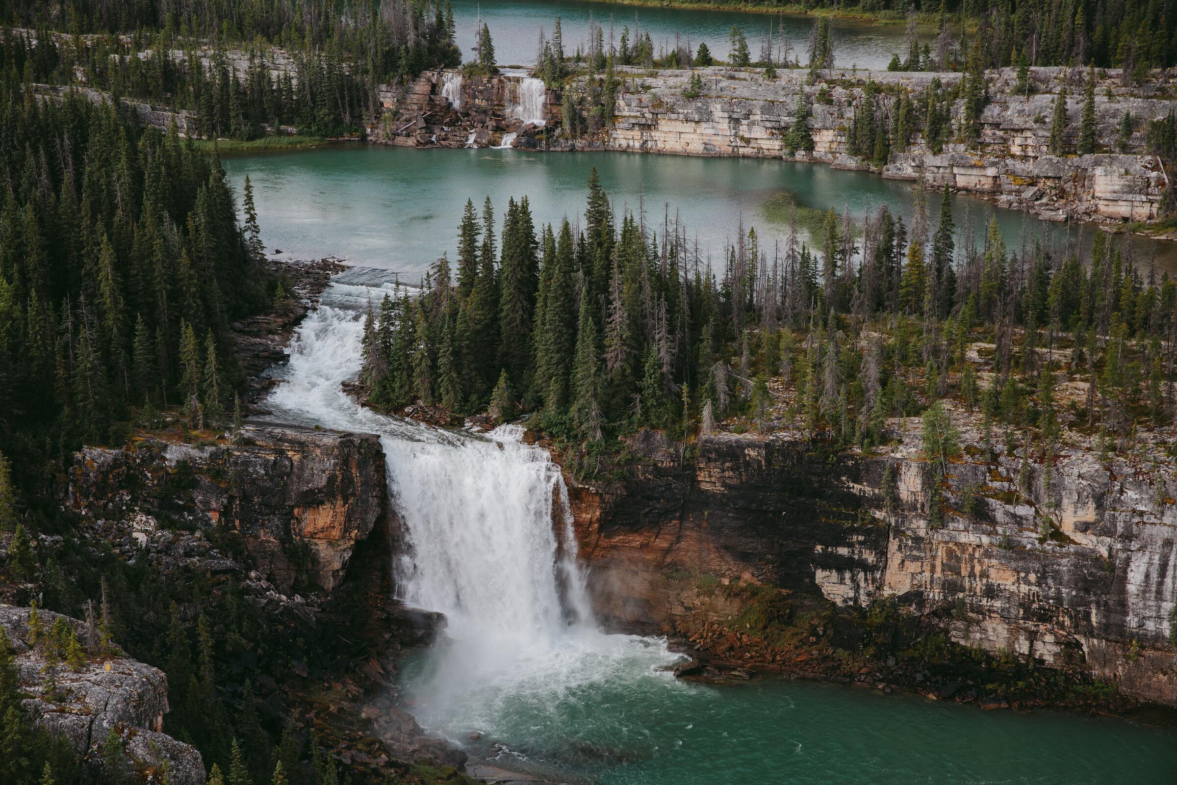
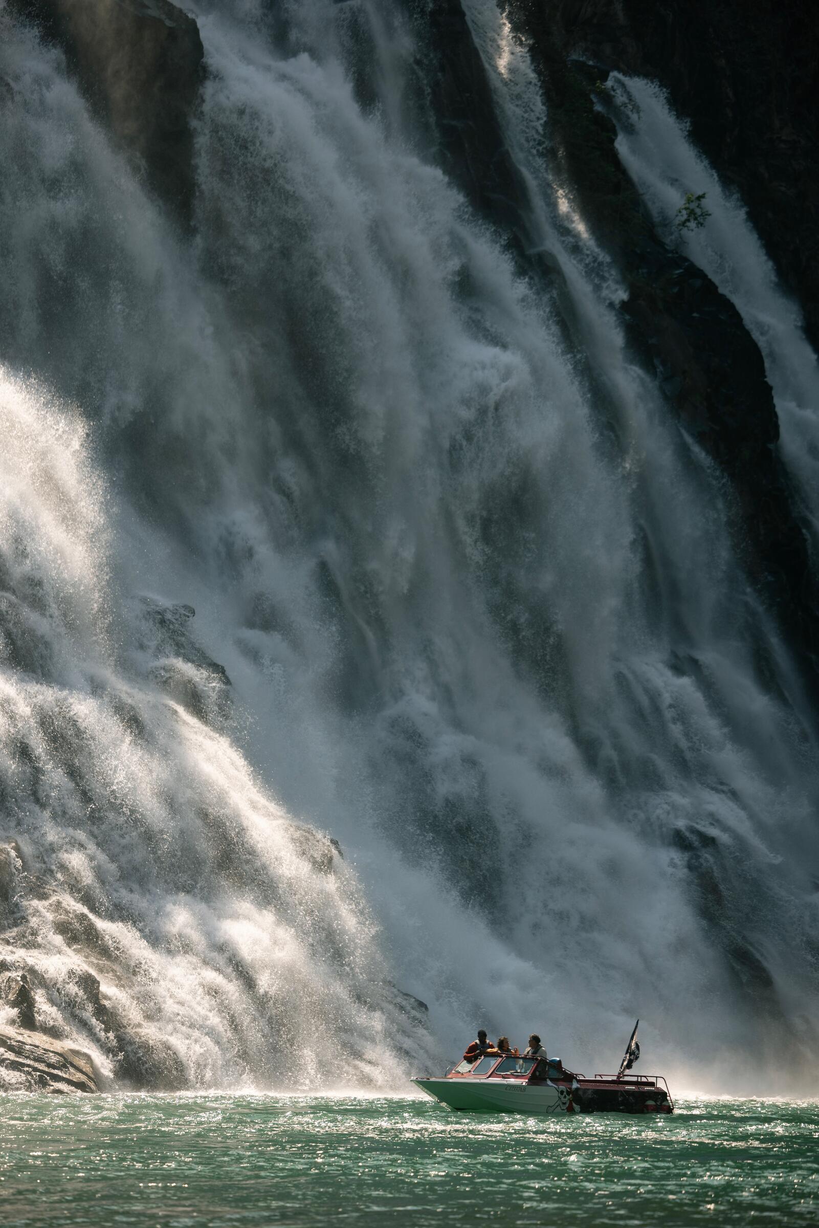
Rivers & waterfalls
River crossings can be dangerous at high water. Never dive into pools, and give canyon edges a wide berth.
Where to camp
40 sites in a creek setting 1 km from town. Showers, flush toilets, cooking shelter and a swimming hole. No hook-ups. May to October; register before entering.
55 drive-through sites with hook-ups, plus tent and group camping, showers and laundry.
8 stalls with power above the Murray River valley, open in golf season, about May to September.
42 sites in Monkman Provincial Park, a short walk from the falls. Rough access road; boil or filter water.
50 vehicle-access sites on Highway 29 between Tumbler Ridge and Chetwynd, with a boat launch and good fishing. In 2026, services run May 7 to September 13; 14 sites can be reserved through BC Parks and 36 are first-come, first-served.
Windfall Lake and Bootski Lake each have WNMS tent pads, a toilet, a bear cache and a food prep table. Pack it in, pack it out.
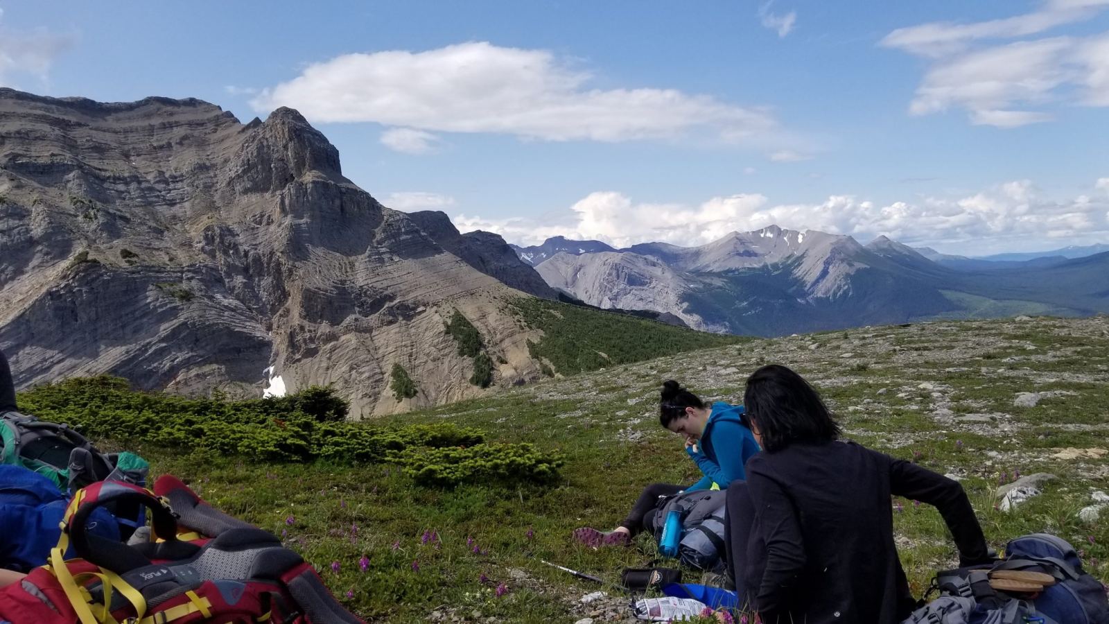
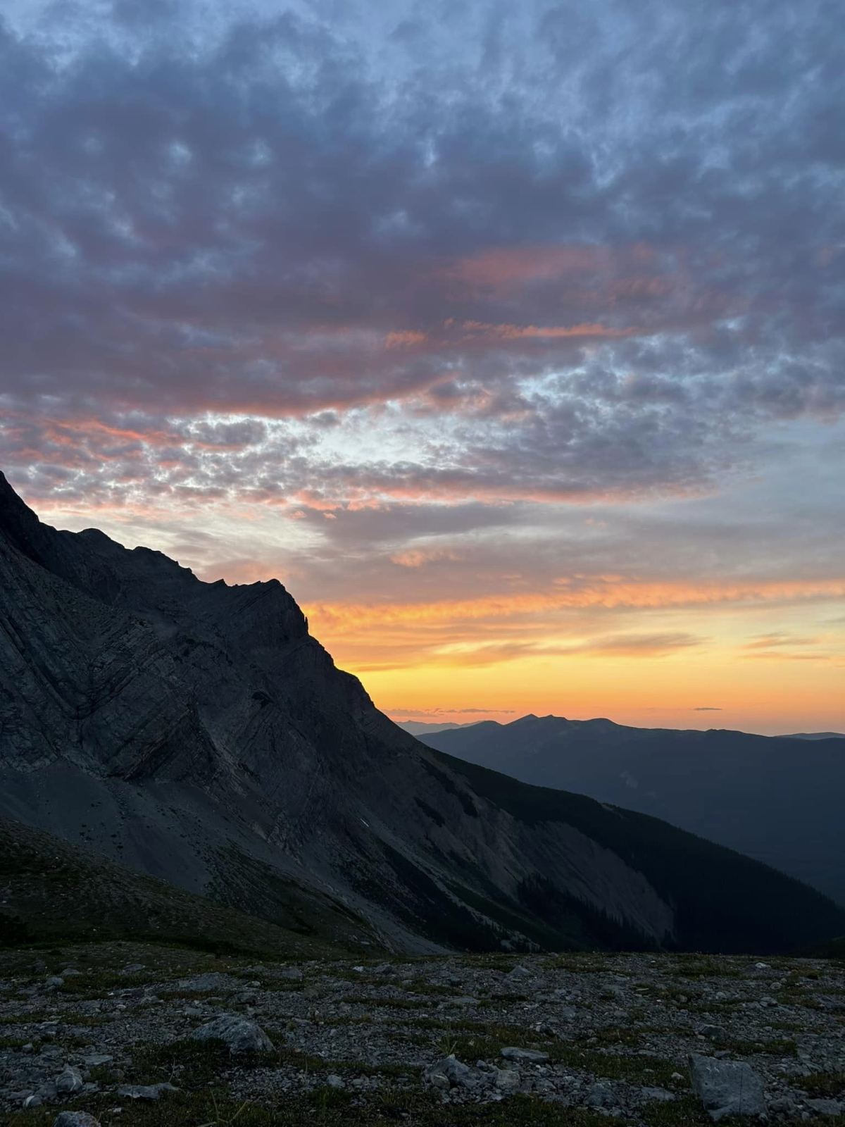
Prefer something wilder? Forest recreation sites include Windfall Creek, Moose Lake, Bearhole Lake, Boot Lake, Flatbed East, Stony Lake, Redwillow, Thunder Creek, Wapiti West and Wapiti East. The sani-dump is on Ridge Road.
Where to stay

Listings from Visit Tumbler Ridge. Check ahead for current availability.
Where to eat
Listings from Visit Tumbler Ridge, as of November 2026. Hours change with the season, so please check ahead — especially in winter.
Every season is a season here
Upcoming Tumbler Ridge Tours
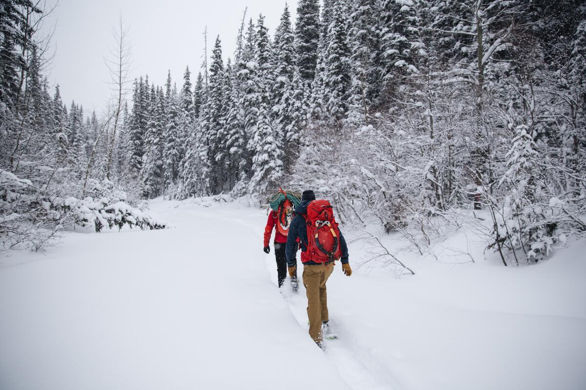
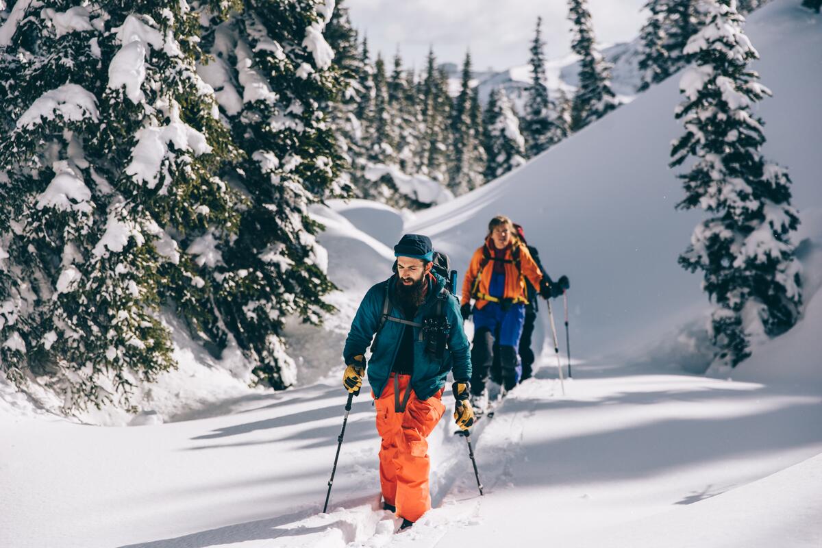
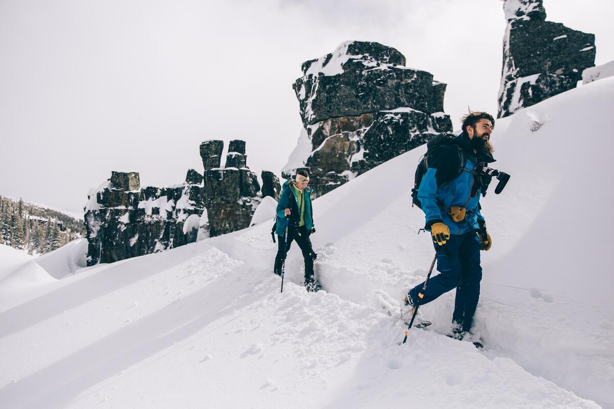
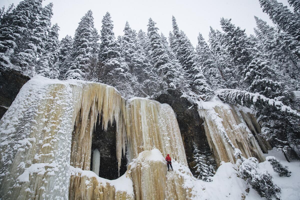
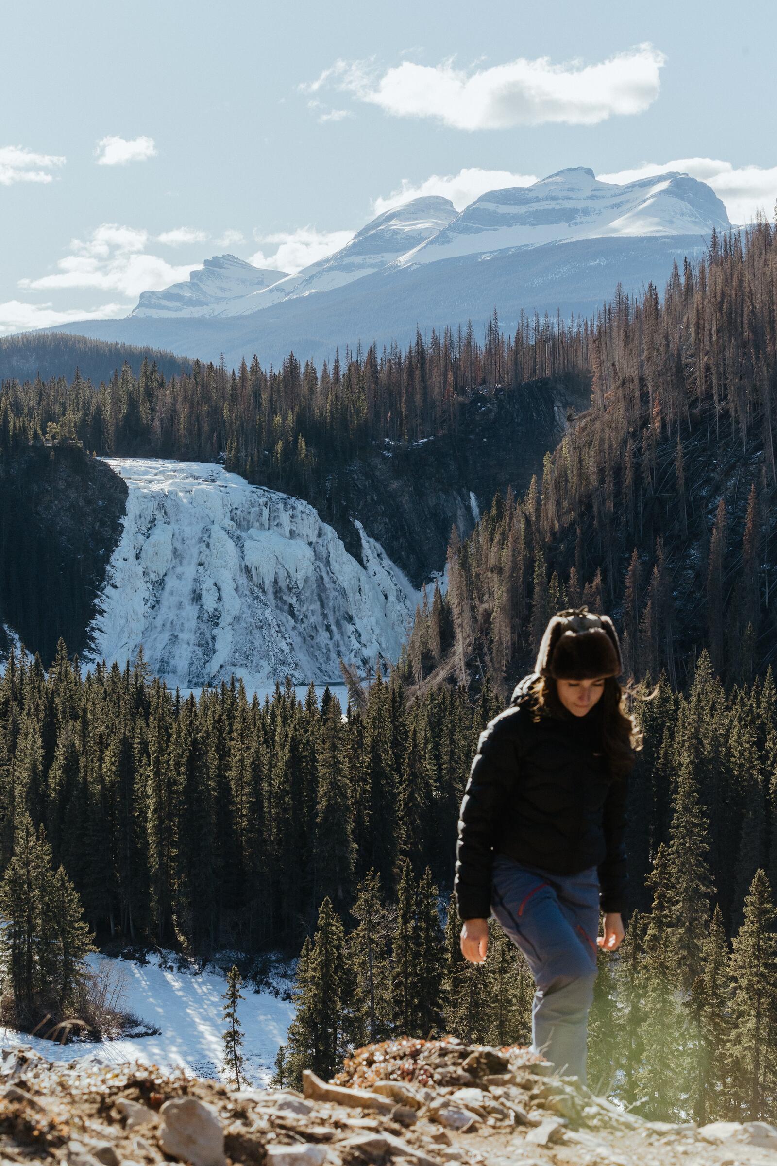
This winter, Peak Wyld Co. is guiding three trips in the Geopark — two days gliding frozen creeks, and a weekend at a cabin in the quiet woods. Pick a date below, or ask us to build a private trip around you.
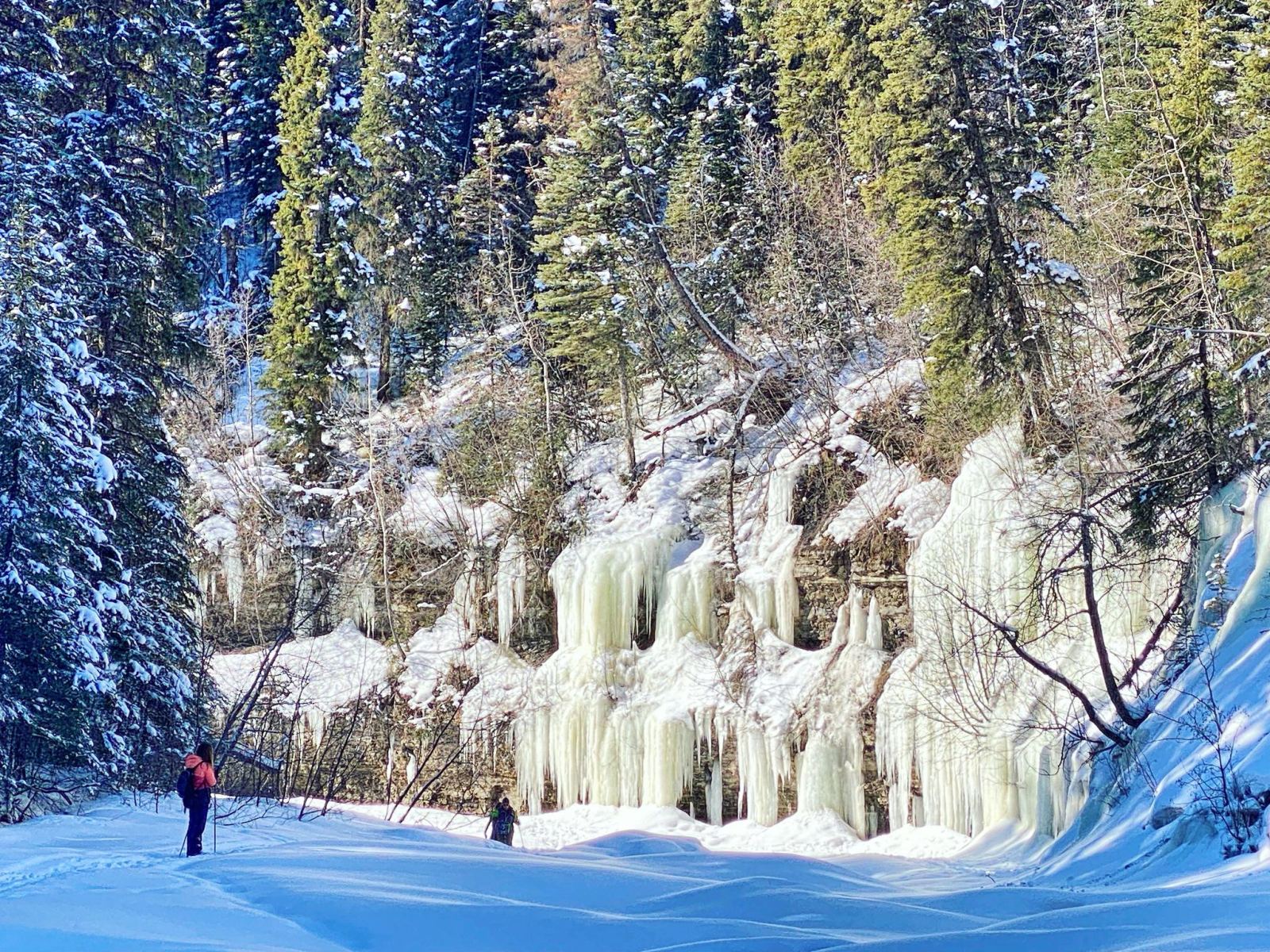
Saturday, January 16, 2027, 10 AM to 4 PM
Ski a frozen creek to the frozen seeps.
$50 + tax

Friday, January 22 to Sunday, January 24, 2027
Snowshoe through quiet woods to a wood-stove cabin for the weekend.
$250 + tax

Saturday, February 6, 2027, 10 AM to 5 PM
Follow a frozen creek all the way to the falls.
$50 + tax
Good to know
Road access is on Highway 52 from Dawson Creek (117 km) and Highway 29 from Chetwynd (92 km). Fort St. John is 188 km and Grande Prairie, Alberta is 250 km. There is no bus or shuttle, and no vehicle rentals in town, so most visitors drive, or fly into a nearby centre and rent a car there.
We guide day hikes, private tours, backpacking trips and winter adventures, and we can help with rentals. Upcoming trips are listed on this page. This winter you can join us at Babcock Seeps, Flatbed Creek or Lost Haven Cabin, or browse all of our events. For a trip built around you, plan a private trip or email jocelyn@peakwyldco.ca.
Start at the Visitor Centre at 265 Southgate Street, open year-round, seven days a week, 9 AM to 5 PM, at (250) 242-3123. Grab the official Visitor & Relocation Guide and recreation map, and check the Wolverine Nordic & Mountain Society trail pages before you go.
Yes. Many visitors walk these trails independently. Conditions change with the season, cell service is limited once you leave town, and this is bear and moose country — so travel prepared, carry bear spray you know how to use, and leave your plans with someone. A Peak Wyld Co. guide is there when you want local knowledge, a steadier pace and the stories in the rocks.
Mountain Standard Time year-round (UTC-7), with no clock change. Since March 2026, that is the same clock as the rest of British Columbia’s year-round Pacific Time.
The view from here
Photos from Peak Wyld Co. trips, together with images from the BC Content Hub. Each hub photo carries its credit in the caption.
Plan your visit
Take Highway 52 from Dawson Creek or Highway 29 from Chetwynd. GPS shortcuts can send you onto forest service roads, and 52 East from Alberta is partly gravel. Check DriveBC in winter. Fly into Dawson Creek, Fort St. John, Grande Prairie or Prince George; there's no bus or car rental in town.
Fill up in town before heading out. The next gas is in Chetwynd (92 km) or Dawson Creek (117 km). FreshMart on Front Street stocks groceries and trail snacks.
265 Southgate Street, open year-round, 7 days a week, 9 AM to 5 PM. (250) 242-3123. Maps, trail advice, free Wi-Fi, washrooms and EV charging.
Good in and around town, limited on Highways 29, 52 North and 52 East, and patchy to none on most trails. Carry a satellite messenger and leave your plans with someone.
This is grizzly, black bear, cougar, wolf and moose country. Travel in groups, make noise and carry bear spray you know how to use. In an emergency call 9-1-1; search and rescue is free in BC. In winter, check Avalanche Canada.
Stay on the trail, especially in fragile alpine meadows. Pack out everything, give wildlife space, respect caribou closures, and leave fossils where you find them.
Tumbler Ridge stays on Mountain Standard Time year-round (UTC-7), with no clock change. Since March 2026, that matches the rest of B.C.’s year-round Pacific Time.
Partners & stewardship
The trails we love exist because of volunteers. That’s why $5 from every Tumbler Ridge booking goes to the Wolverine Nordic & Mountain Society, who build and care for the hiking and ski trails, the Lost Haven Cabin and the new Windfall and Bootski Lake campgrounds.
We travel by Leave No Trace on every trip, and we’re grateful to explore within Treaty 8, the traditional territory of the Dunne-za, Saulteau, Tse’khene, Cree and Métis peoples.
Book a scheduled trip on FlyBook, or tell us what you’re dreaming of and we’ll build the day around you. Not sure which tour is right for you? Let’s chat.